Guide 01 / Establish the ecological context
Reading the Airfield Habitat
Start with why wildlife uses the landscape. A sensor plan becomes more useful when it is grounded in repeatable observations of feeding, resting and movement.
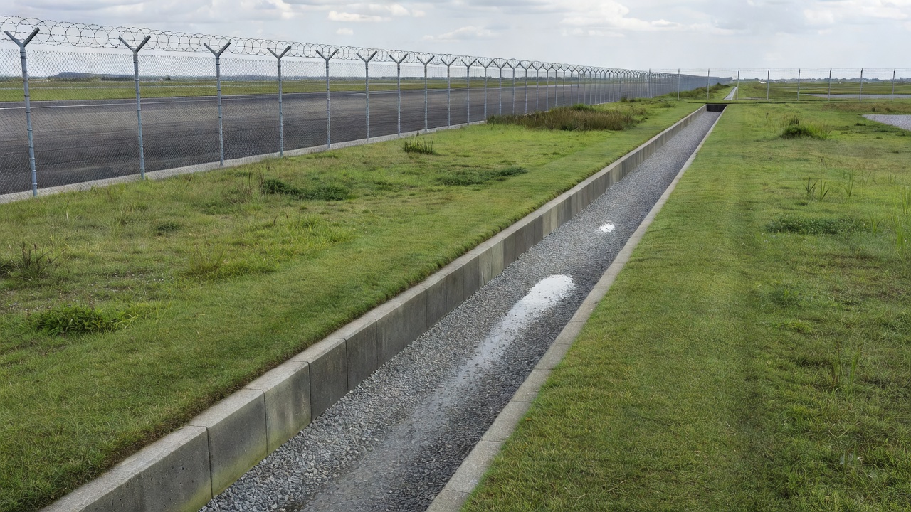
Map use, not just presence
A species list is a starting point, not a complete account of wildlife exposure. Record where animals feed, where they rest and how they travel between those places. A flock using a distant field may be less immediately relevant than a smaller group repeatedly crossing an aircraft movement area. Equally, activity outside the airport boundary can explain a recurring crossing that appears disconnected when viewed only from the runway.
Use a consistent location reference that the intended recipients understand. Distinguish direct observation from an inferred route. Mark features such as standing water, drainage channels, waste handling, buildings, agricultural plots and roosting trees. These are potential influences rather than automatic hazards: their significance depends on the species, timing and relationship to aircraft activity.
Keep the map usable. A small number of clearly defined habitat units is often easier to revisit than an elaborate survey that cannot be repeated. Record access restrictions and observation blind spots alongside the ecological information.
Make observations comparable
Describe survey effort as well as sightings. A quiet morning observed for ten minutes cannot be compared directly with a full afternoon patrol. Note observation duration, route, weather, light conditions and whether the observer was stationary or moving. Use counts where defensible; otherwise retain an explicit estimate or category instead of manufacturing precision.
Behaviour provides essential context. Record whether wildlife was feeding, loafing, circling, crossing or dispersing, and whether movement was sustained or brief. Where height can only be judged approximately, say so. Avoid converting an uncertain visual estimate into a precise altitude simply because a reporting field accepts a number.
Species identification also has limits. When the identification is uncertain, record the broad group and the reason for uncertainty. A poorly lit silhouette should not become a confident species record later in the analysis. Photographs may help a competent reviewer, provided collection follows local security and access rules.
Follow seasonal and off-airport influences
Wildlife use changes with rainfall, migration, breeding, harvest and maintenance. A drainage feature may become attractive after rain; recently disturbed ground may expose food. Record these events so that changes in detections can be interpreted rather than merely counted. The timing of a mowing operation, for example, can matter as much as the vegetation description.
Consider the surrounding landscape without assuming the airport controls it. Nearby water bodies, waste facilities and agricultural land may require coordination with landowners or public authorities. Share observations through established channels and distinguish a plausible ecological connection from one demonstrated by repeated movement records.
General biodiversity datasets can suggest which species may occur in a region, but they do not establish current runway activity. Information from the British Trust for Ornithology, Cornell Lab of Ornithology or BirdLife International should be used as background context, not as a replacement for a local assessment.
Turn the habitat picture into a coverage brief
Translate the survey into questions a detection system must answer. Is the concern a repeated crossing corridor, nocturnal movement, a ground-based mammal route or a broad seasonal pattern? These questions point toward different observation positions and technologies. They also expose where training or a better reporting process may be more valuable than another instrument.
Define the observation areas, expected conditions and known gaps before comparing equipment. Ask how coverage will be checked against field observations and what happens when the equipment is unavailable. Do not assume that the most visually impressive display provides the most relevant information.
- Separate confirmed attractants from suspected influences.
- Record observation effort, identification uncertainty and blind spots.
- Retain seasonal and maintenance context with each review.
- Identify an owner for keeping the habitat map current.
Habitat management itself requires competent ecological and operational judgement. Changing vegetation, water or food availability can shift wildlife rather than remove it. Assess proposed changes under the airport’s wildlife programme and applicable environmental requirements, then monitor their effects. Detection supports that process; it does not make the ecological consequences predictable.
Sources and further reading
- Federal Aviation Administration: airport wildlife hazard resources — programme and assessment context.
- USDA APHIS Wildlife Services — wildlife damage management expertise.
- British Trust for Ornithology — bird monitoring and ecological research.
- Cornell Lab of Ornithology — species and bird research background.
- BirdLife International — conservation and species context.