Guide 02 / Define what can be observed
Comparing the Detection Layers
No single instrument supplies a complete wildlife picture. Select complementary evidence around a defined task, then test the boundaries of that evidence.
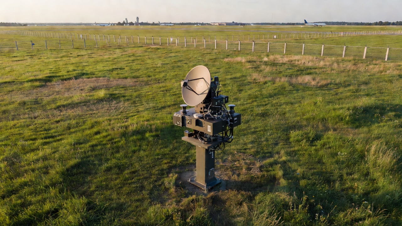
Radar: follow movement with qualifications
Wildlife radar can help reveal movement patterns over an area and across periods when direct observation is difficult. Depending on the system, outputs may include horizontal position, direction, speed or height information. These are system-specific capabilities, not properties that every radar installation shares. Ask which dimensions are directly measured and which are estimated.
Detection depends on target characteristics, distance, viewing geometry, scan settings and the surrounding environment. Buildings, terrain, vegetation, precipitation and moving non-wildlife objects can complicate interpretation. Low activity on a display may mean little movement, but it may also indicate shielding, filtering or an unavailable sensor. A blank area is not automatically a clear area.
Track continuity and species identification are separate questions. A moving target can be tracked without a reliable species label, and multiple animals may not appear as separate tracks. Procurement discussions should therefore distinguish detection, tracking and classification performance rather than treating “bird detection” as one measurable promise.
Comparison panel / Radar
Useful contribution: movement context and repeated patterns.
Check explicitly: clutter, low-level coverage, target separation and the meaning of any height estimate.
Optical and thermal: add a view, not certainty
Optical cameras can provide valuable visual confirmation when an object occupies enough pixels and lighting is suitable. They may help a trained person distinguish a bird from a vehicle or inspect behaviour at a known location. Their usefulness falls with distance, poor contrast, glare, obstruction and atmospheric effects. Zoom also changes the area being watched.
Thermal imaging uses emitted infrared radiation and can support observation in darkness. It does not see through every obstruction or guarantee a species identification. Rain, fog, thermal contrast, lens condition and target size can all affect the usable image. A small warm object remains an uncertain object unless there is sufficient supporting evidence.
Automated image classification should be evaluated on representative local conditions. A strong result on a curated image set does not demonstrate performance on distant silhouettes, mixed flocks or difficult backgrounds at a particular airfield. Retain examples of uncertain and incorrect classifications, not only successful demonstrations.
Comparison panel / Imaging
Useful contribution: visual context and possible confirmation.
Check explicitly: field of view, pixels on target, night performance and confidence calibration.
Observers and supporting measurements
Trained observers connect detections with habitat, behaviour and operational context. Their work also has limitations: attention, fatigue, viewing position and simultaneous tasks affect what can be noticed. A field observation is valuable evidence, but it should not be described as perfect ground truth without acknowledging its own coverage gaps.
Acoustic monitoring can add information about vocal species or particular activity periods, yet silent animals and noisy airport environments constrain its use. Weather measurements help explain changing visibility and detectability. Ground-based cameras may support a defined mammal route while contributing little to a broad airborne movement question.
Combining sensors is useful only when their relationship is understood. Time alignment, shared coordinates and target association matter. Two systems can appear to corroborate one another while actually describing different objects. Preserve the source of each observation and avoid presenting a fused confidence score as certainty.
Validate the task before expanding the system
Write an acceptance plan around operationally relevant observation tasks. Define the area, environmental conditions, target groups and reporting outputs to be tested. Include difficult periods and known blind spots. Use independent observations where practical, documenting how their limitations affect comparisons.
Separate missed observations, nuisance detections, classification errors and delayed reporting. A single accuracy percentage can conceal these different failure modes. Include availability, maintenance effort and operator workload: a technically capable instrument may contribute little if its output cannot be interpreted reliably during normal work.
Installation also needs appropriate permissions and technical coordination. Radio equipment, electrical systems, structures and camera placement require consideration beyond wildlife performance. Review applicable spectrum, aviation, security and privacy requirements with competent parties. No sensor should be treated as automatically suitable merely because it is marketed for airports.
Finally, specify how configuration changes will be logged and retested. Software updates, vegetation growth and a moved camera can change what the system observes. Validation is an ongoing assurance activity, not a demonstration completed once at purchase.
Technical context and further reading
- Federal Aviation Administration — wildlife programme and technology resources.
- World Meteorological Organization — observation and meteorological context.
- Deutscher Wetterdienst — German weather information and observation context.
- International Telecommunication Union — radio spectrum framework.
- Bundesnetzagentur — German spectrum and radio equipment responsibilities.